
One District, Three Boundary Types — N20
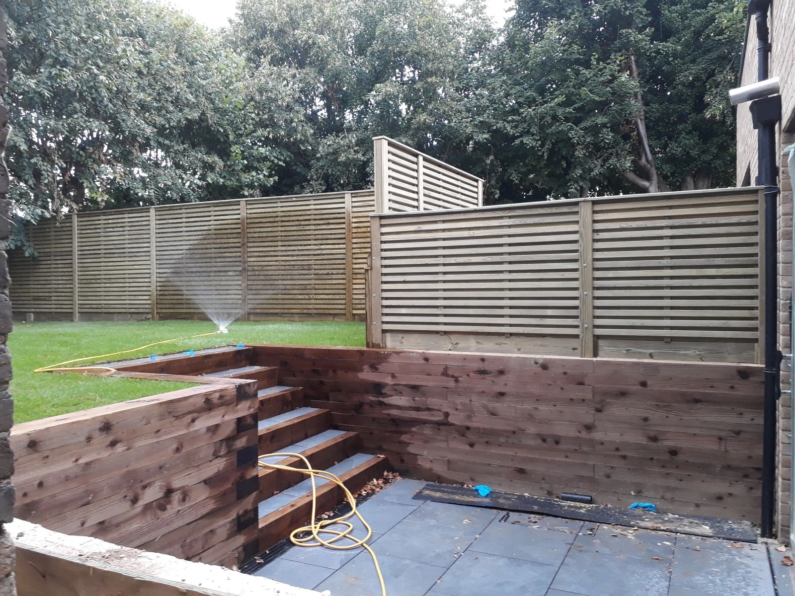
N20 spans the High Road at Whetstone through to the green-belt paddocks of Totteridge village and Barnet's Northern line terminus.
Frequently asked — N20
Why doesn't N20 have one typical fence spec?
Whetstone's terraces, central Barnet's streets and Totteridge's paddock-edge plots have different plot widths and boundary purposes, so the appropriate spec differs by area within the district.
What's different about a paddock boundary in Totteridge?
It usually needs to contain or exclude livestock rather than provide privacy, which calls for post-and-rail or stock netting rather than closeboard panels.
Is a Whetstone terrace boundary a smaller job than a Totteridge one?
Usually shorter in length, though narrow side access on some terraces can make it a more time-consuming install per metre.
Services across N20
Towns & neighbourhoods in N20
Barnet Council · EN5, N20
Property: Victorian terraces, post-war semis and a band of larger Edwardian villas around Hadley Green
Garden: narrow rear gardens with mature trees and London clay underfoot
Near A1000 Great North Road / M25 J23 (South Mimms) · High Barnet (Northern line)
Commercial anchors: Barnet High Street, Stirling Way industrial estate
Barnet Council · N20
Property: Edwardian terraces along the High Road and 1930s semis on the Oakleigh side
Garden: mid to long rear gardens with mature planting and clay underfoot
Near A1000 High Road / A406 (10 min) / M25 J23 · Totteridge & Whetstone (Northern line)
Commercial anchors: High Road N20, Oakleigh Road South
Barnet Council · N20
Property: large detached houses and estates fronting Totteridge Green and the valley
Garden: very generous plots — many border green-belt paddocks and ponds
Near A5109 Totteridge Lane / M25 J23 · Totteridge & Whetstone (Northern line)
Commercial anchors: Totteridge village